Itinerary at a glance
How to think about Boston in 3 days
Boston was born mixing religion, trade and one enormous idea: that it was building an exemplary society, “a city upon a hill”. On a narrow Puritan peninsula rose an Atlantic port, then the main center of resistance against the British Empire, and later an industrial, immigrant and deeply intellectual city. In three days you won’t see all of it, and that’s fine. This route doesn’t aim for complete: it aims for coherent.
And here there’s an advantage: the history is painted on the ground. The red line of the Freedom Trail links sixteen sites of the American Revolution, from Boston Common to Bunker Hill. The premise is simple: day 1, the first stretch of the Trail through the colonial center. Day 2, the North End, Charlestown and the waterfront. Day 3, Back Bay and Cambridge. Almost all on foot.
This is one possible route, not the only one. Some people do the whole Freedom Trail in a day, others spend a morning in a single cemetery. The compass points in a direction — you decide how long to stay at each stop. At each one, Ruthy tells you what you’re looking at standing right there, in no hurry.
Day 1 — the Freedom Trail, first stretch
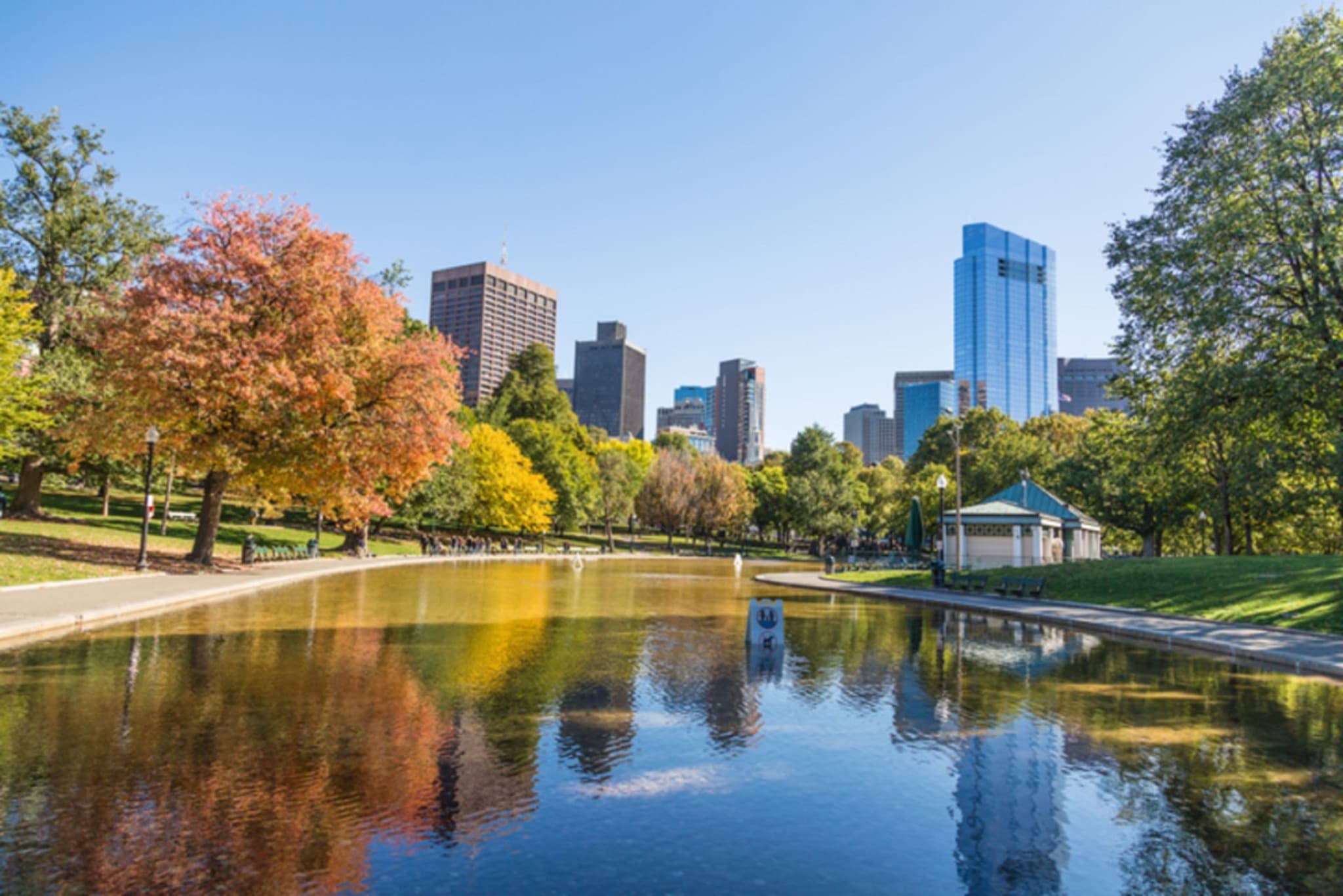
Day one you start where everything starts: Boston Common, the oldest public park in the country, which has existed since 1634. For nearly four centuries it was grazing ground, militia field, stage for punishments and protests — and today it marks the start of the Freedom Trail. From here you follow the red line through the colonial heart of the city: 17th-century burying grounds, churches, the seat of the old government and the square where independence was debated.

Suggested order:
- Boston Common — the start of the red line. What happened under these trees isn’t told on a sign.
- Massachusetts State House — the golden dome of Beacon Hill, finished in 1798. It was sheathed in copper by Paul Revere’s company.
- Granary Burying Ground — founded in 1660: beneath these headstones lie Samuel Adams, John Hancock and Paul Revere.
- King's Chapel — the first Anglican congregation in Puritan Boston, a provocation in its day.
- Old State House and the Boston Massacre Site — from its balcony the Declaration of Independence was read in 1776; at its foot, the ring of cobblestones of the 1770 massacre.
- Faneuil Hall and Quincy Market — “the Cradle of Liberty” and, beside it, the Greek Revival market of the 1820s.
Time: 5–7 hours with breaks. Walking: ~5 km.
Day 2 — North End, Charlestown and the waterfront
Day two you follow the red line to the end. You cross into the North End, Boston’s oldest neighborhood, home to the Paul Revere House —the oldest residence downtown— and the Old North Church, from whose steeple, in 1775, two lanterns signaled the British were advancing “by sea”. Then you cross the river to Charlestown: the USS Constitution and the Bunker Hill Monument. And you close on the waterfront, where the riot that lit the fuse began.

Suggested order:
- Paul Revere House — built around 1680, the oldest surviving residence downtown. From here came a warning that preceded the war.
- Old North Church — from 1723, the oldest standing church in Boston. Two lanterns, a signal of light that ran ahead of the war.
- Copp's Hill Burying Ground — the city’s second-oldest cemetery, atop the North End, with a view of Charlestown across the river.
- USS Constitution — at the Charlestown Navy Yard: the oldest commissioned warship in the world still afloat, “Old Ironsides”.
- Bunker Hill Monument — a 67-meter granite obelisk on Breed's Hill, where the 1775 battle actually happened. The name and the place don’t match: we tell you why.
- Back south, the Boston Tea Party Ships & Museum — on the Fort Point Channel, where the 1773 Tea Party is commemorated.
Time: 6–8 hours. Walking: ~7 km.
Day 3 — Back Bay and Cambridge
Day three you leave the Revolution and enter intellectual, modern Boston. Back Bay is an entire neighborhood built atop sea reclaimed during the 19th century: invented ground. On Copley Square stand the Trinity Church and the Boston Public Library, the first large free municipal library in the country. Then you cross the Charles River to Cambridge, where Harvard explains why this city ended up the capital of knowledge.

Suggested order:
- Trinity Church — from 1877, a work by H. H. Richardson, resting on ground reclaimed from the sea in Back Bay.
- Boston Public Library, across the way — founded in 1848: the idea that knowledge belonged to everyone, not just the elite. Step inside to see the McKim Building.
- Cross the Charles River to Cambridge — by subway (Red Line to Harvard Square) or on foot if you like adding kilometers.
- Harvard Yard — the oldest heart of the campus, with the statue of John Harvard, which hides more than its plaque says.
- Harvard University — founded in 1636, the oldest institution of higher education in the country. Crossing the river is how you grasp why Boston became the intellectual capital.
Time: 5–7 hours. Walking: ~6 km.
What to avoid
- Rushing the whole Freedom Trail. It’s four kilometers and sixteen sites: rush it in one afternoon and you walk it without understanding it. Splitting it across two days leaves time for each stop.
- Eating right on Quincy Market or Faneuil Hall. It’s the most photographed area and the one that most prioritizes location over the kitchen. Walk into the North End to eat better.
- “Quick tour” offers from people approaching you in the street. The Freedom Trail is free and self-guided — the red line is on the ground. Buy museum tickets on the official sites.
- Leaving Charlestown for the last minute. The USS Constitution and Bunker Hill are across the river and add walking; plan the day with time to cross over and back.
How to get around
Boston’s historic center is compact and walkable. The Freedom Trail is, literally, a red line painted on the ground: you follow it on foot from start to finish, with no need for transport. It has some slopes in Beacon Hill and Charlestown, but nothing demanding.
Boston’s subway —the T, the oldest in the country— solves the longer stretches: crossing to Cambridge (Red Line to Harvard), reaching the waterfront or returning from the Navy Yard. But for this route, day to day, feet are the only real transport. Make sure you have comfortable shoes — you’ll cover 16–22 km over three days.
If you ever need precise directions, one tap in Ruthy opens Google Maps, Apple Maps or Waze. The app is built for walking, not for turn-by-turn navigation.
Practical info
- Best time: Boston has four distinct seasons. May–June and September–October are the most comfortable for walking; summer is humid and winter cold, with snow. Always check the forecast before heading out.
- Freedom Trail: it’s free and self-guided — the red line on the ground is your map. Some sites (museums, the climb up Bunker Hill) have their own access.
- Cambridge: it’s across the Charles River. The subway (Red Line to Harvard Square) is fastest; mbta.com has T maps and fares.
- Where to stay: near Boston Common or Downtown gives you the Freedom Trail on foot. The North End and Back Bay also keep almost everything close.
- Gear: real walking shoes, not fashion sneakers — there are slopes and cobblestones. Add a warm layer: Boston’s weather changes fast.